
FURUNO
0.25° RMS heading accuracy Satellite Compass™ (GPS/GNSS Compass)
SC-130
MERCHANT MARINEFISHING VESSELSWORKBOATS
Antenna Type
Radome
Data Type
NMEA0183®
Display Size
4.3 inches
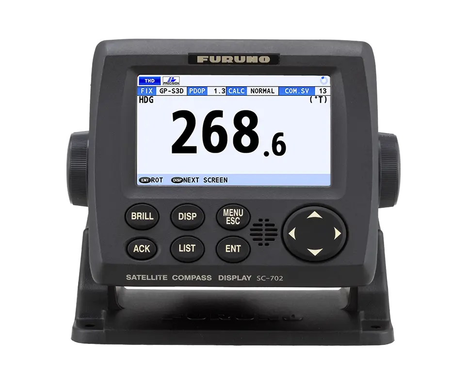
The SC-130 is an IMO-compliant Satellite Compass™ featuring a 4.3-inch color LCD. Utilizing three GPS receivers, it delivers exceptional 0.25° RMS heading accuracy for the highest level of marine precision This GNSS-powered device ensures unwavering stability for radar, ECDIS, and autopilot systems. Its advanced three-antenna design provides superior reliability, making it perfect for critical vessel control and sophisticated navigation
Specifications
| Antenna Type | Radome |
| Data Type | NMEA0183® |
| Display Size | 4.3 inches |
| Display Type | Color LCD |
| Power Supply | 12/24 VDC |
| Receiver Type | GPS or GLONASS or Galileo |
Features & Functions
- SC-130 features a Tri-sensor antenna that provides a high system accuracy for the heading of your vessel
- Utilizes GNSS such as GPS, Galileo and GLONASS for high-precision attitude — Eliminating the problem of not having enough satellites at hand by using multiple types of satellites
- Provide precise data for SOG, COG, and L/L
- Speed on 3 axis (bow, stern and longitudinal) for safe navigating and berthing
- IMO Type-approved as THD, GPS and ROTI. Complying with the IEC, ISO requirements
- Easily integrated into the existing shipboard network via Ethernet
- Rapid follow-up rate 40°/s (twice the IMO high speed craft requirement, 20°/s)
- Maintenance free and no recurring cost as there are no mechanical parts
- Super short starting time — 90 seconds - Once the power is on, it takes about 90 seconds to start (the starting time will slightly differ depending on the equipment location)
- Easy to retrofit by using existing antenna cabling — For SC-50/55/60/110/120. (The LAN_CNV option kit is necessary
- Precision pitch/roll data in Analog and Digital formats for vessel stabilization, Sonar, etc
- Display modes
- Navigational data screen
- GPS integrity mode
- Speed mode